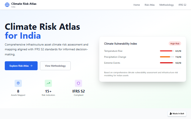
Heat is your city’s fastest-rising risk. Show it beautifully, cite it confidently.
Your product, campaign or safety programme needs heat risk people can see, not a PDF annex. Our heat index turns satellite and station data into presentation-grade visuals you can license, embed and publish, city by city.
What we run here
Climate Risk Atlas
OPENHeat index and visuals
Satellite and station heat data as visuals you can license, embed and publish.
- Your city’s heat index, mapped
- Presentation-grade visuals with citable sources
- A branded embed in 5 days
View your city’s index
Shareable visual now. Branded embed in 5 days.