
Your city doesn’t make water. Forests do.
We show where your city's water is actually produced, through watershed mapping and avoided-cost analysis, so a rupee spent upstream buys the most security.
Bengaluru’s taps end in the Ghats, and the catchments that produce your water are collapsing faster than your borewells can hide it. The Water Atlas shows where your water is actually made, what it costs when the source fails, and where a rupee upstream buys the most security.
What we run here
Kodagu to Bengaluru pilot
ON REQUESTWater fund pilot
A watershed pilot scoped against the cost your city carries when the source fails.
- Where the city’s water is actually produced
- Avoided cost when the catchment fails
- Where a rupee upstream buys the most security
Talk to us about the Kodagu to Bengaluru pilot →
Pilot scope and avoided-cost sketch in one meeting.
CoffeeAtlas
FREECoffee belt atlas
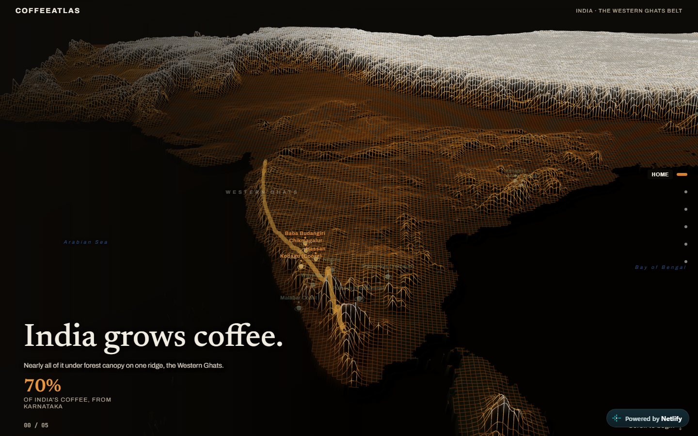
The coffee estates that hold the Ghats canopy, mapped across the belt.
Carbon origination VM0047
ON REQUESTOrigination programme
Restoration in the catchment, evidenced to VM0047 and taken through to issuance.
Scope a VM0047 programme →